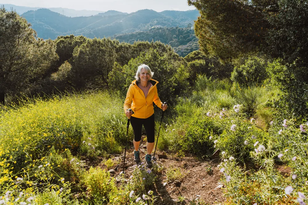
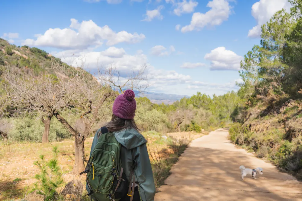
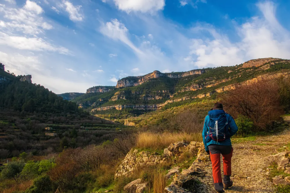
Inspiration photos, not of this area.
Hiking near Manlleu
24 routesBarcelona
24 marked hiking routes start within 10 km of Manlleu, from 3.0 km to 42.9 km long. 0 of them reach above 1,500 m.
The routes are sorted by distance from the town centre. Each route page has its own danger layers with sources and dates.
Use at your own risk
Information only. Conditions change, the data can be wrong, and you are responsible for your own safety. Check the official bulletins on the day, tell someone your route and call 112 in an emergency.
Read the full notice
Routes near Manlleu
Senders del 1714 - Etapa 07
22.1 km6 h 35 min425 m upHard (est.)
Sender de Voltregà (PR-C 49)22.8 km7 h 50 min785 m upHard (est.)
Ruta del Sorreigs (PR-C 46)19.0 km5 h 40 min550 m upHard (est.)
Sant Feliuet de Savassona (SL-C 125)5.8 km2 h 10 min220 m upEasy (est.)
Sender al Monastir (PR-C 40)3.0 km0 h 55 min25 m upEasy (est.)
Sender de Gurb (PR-C 41)19.4 km6 h 35 min655 m upHard (est.)
Camins de Verdaguer16.7 km5 h 25 min480 m upHard (est.)
Folgueroles-Sant Jordi de Puigseslloses10.2 km2 h 45 min90 m upModerate (est.)
Folgueroles-Monòlits de Jacint Verdaguer7.2 km2 h75 m upEasy (est.)
Sender d'Orís (PR-C 54)13.4 km4 h 20 min355 m upModerate (est.)
El Casol de Puigcastellet (SL-C 123)6.3 km2 h 05 min200 m upEasy (est.)
Sender de Torelló (PR-C 45)21.9 km7 h 45 min840 m upHard (est.)
Folgueroles - Casol de Puigcastellet - Pla de Savassona14.5 km4 h 40 min395 m upHard (est.)
L'Esquirol, Salts i Gorgues11.2 km3 h 40 min315 m upModerate (est.)
Camí Ral de Vic a Olot42.9 km12 h 50 min775 m upHard (est.)
Vic-Sant Pere de Casserres (PR-C 40)18.9 km5 h 50 min420 m upHard (est.)
Senders del 1714 - Etapa 0624.5 km6 h 35 min165 m upHard (est.)
Variant del Camí Ral de Barcelona a Vic13.9 km3 h 40 min105 m upModerate (est.)
Folgueroles-Salt de la Minyona-Tavèrnoles33.0 km10 h 35 min865 m upHard (est.)
Puigsec (SL-C 124)5.4 km1 h 35 min85 m upEasy (est.)
GR 3 Sender Central de Catalunya - Etapa 3425.7 km8 h600 m upHard (est.)
Sant Bertomeu del Grau (PR-C 223)22.6 km7 h 15 min605 m upHard (est.)
Variant PR-C 54.1 Sender d'Orís5.9 km2 h 15 min285 m upEasy (est.)
Sant Salvador de Bellver8.7 km3 h 10 min385 m upModerate (est.)
Gear we recommend
Before you head out on any of these routes, a few basics make the difference between a great day and a rough one.
- Columbia Newton Ridge Plus II waterproof hiking bootsAnkle support and a grippy sole for rocky Spanish mountain paths.See on Amazon.es
- SKYSPER 25L hiking backpackA breathable 25 litre daypack, big enough for water, lunch and a spare layer.See on Amazon.es
- OTTO KONING insulated steel water bottleKeeps water cold through a hot Andalucían afternoon.See on Amazon.es
- EONPOW UPF50+ sun hatNeck and face cover for exposed trails with no shade.See on Amazon.es
- Rilastil Sun System SPF50+ stickEasy to reapply on face, ears and neck with sweaty hands.See on Amazon.es
Ad As an Amazon Associate, Pikapoko earns from qualifying purchases at no extra cost to you.