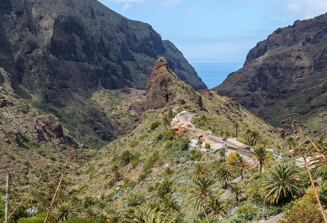
Photo: H. Zell, CC BY-SA 3.0, Wikimedia Commons
Hiking near Taco
16 routesSanta Cruz de Tenerife
16 marked hiking routes start within 10 km of Taco, from 2.3 km to 22.0 km long. 0 of them reach above 1,500 m.
The routes are sorted by distance from the town centre. Each route page has its own danger layers with sources and dates.
Use at your own risk
Information only. Conditions change, the data can be wrong, and you are responsible for your own safety. Check the official bulletins on the day, tell someone your route and call 112 in an emergency.
Read the full notice
Routes near Taco
Camino de Candelaria de La Laguna Camino de Los Panascos (SL-TF 303)
22.0 km6 h 50 min290 m upHard (est.)
Camino de Candelaria de Tegueste6.0 km2 h145 m upEasy (est.)
Camino de las lecheras12.8 km4 h 20 min250 m upModerate (est.)
Camino de Los Panascos (SL-TF 303)2.3 km0 h 55 min0 m upEasy (est.)
El Portezuelo-El Socorro (SL-TG 02)5.8 km1 h 55 min55 m upEasy (est.)
Circular Las Barreras (SL-TF 301)6.0 km2 h 45 min370 m upModerate (est.)
Las Erillas (SL-TF 302)2.9 km0 h 55 min85 m upEasy (est.)
Taborno-Pico del Inglés-Valleseco (PR-TF 2)10.3 km5 h 10 min905 m upHard (est.)
Las Mercedes - Cruz del Carmen (PR-TF 1)3.3 km1 h 45 min360 m upEasy (est.)
Circular Las Raíces (PR-TF 25.1)5.2 km1 h 45 min165 m upEasy (est.)
Cruz del Carmen - Punta del Hidalgo (PR-TF 11)11.7 km5 h330 m upModerate (est.)
PR-TF 1210.8 km3 h 45 min50 m upModerate (est.)
Cruz del Carmen - Punta del Hidalgo (PR-TF 10)10.0 km3 h 50 min150 m upModerate (est.)
El bosque de los enigmas4.9 km1 h 40 min150 m upEasy (est.)
PR-TF 12.16.9 km2 h 30 min130 m upEasy (est.)
PR-TF 12.23.9 km1 h 30 min85 m upEasy (est.)